Myth and Legend – Pub Names
June 19, 2024 2 Comments
A search for ‘pub names’ in Wikipedia reveals something of the rich history of British public houses, but also a very diverse classification of the origins. Around Sherborne we have some excellent country pubs but also many with similar names. There is a reason, and also some quite unusual derivatives.
Listing the ten closest includes:
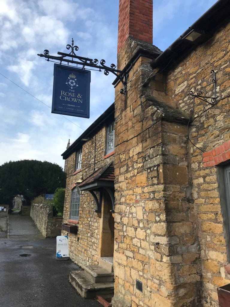
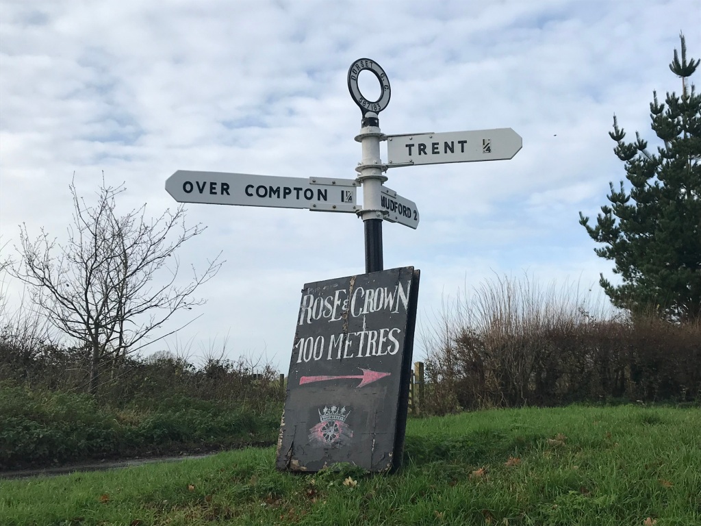
3 Rose and Crowns
2 Kings Arms
A Queens Arms
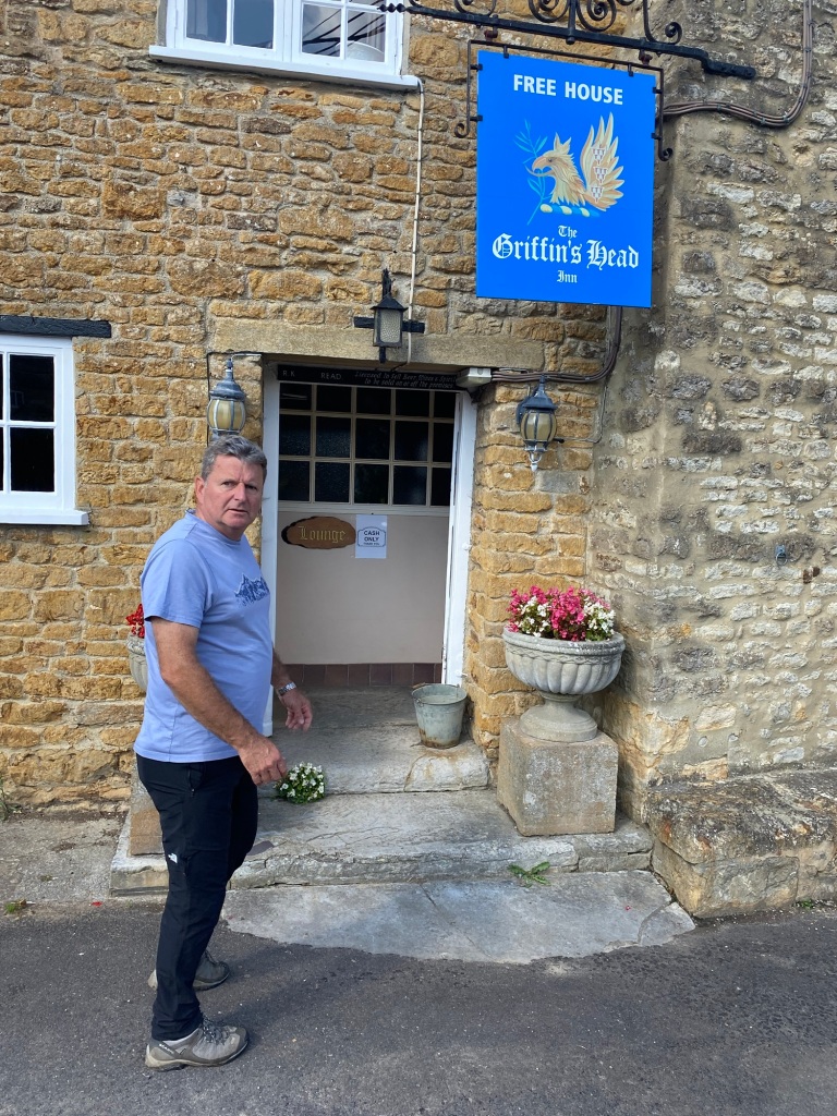
The Griffin’s Head
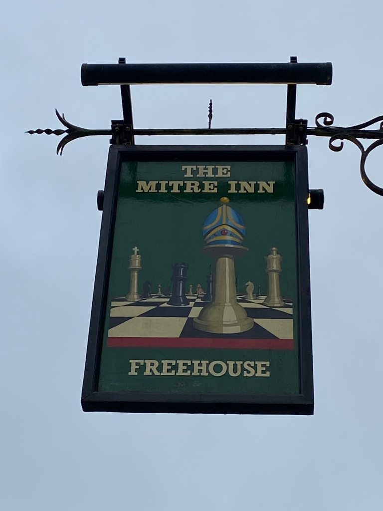
The Mitre Inn
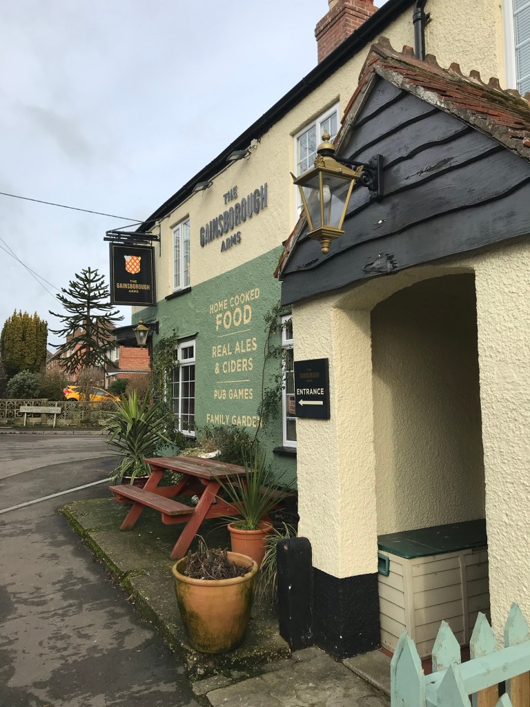
The Gainsborough Arms
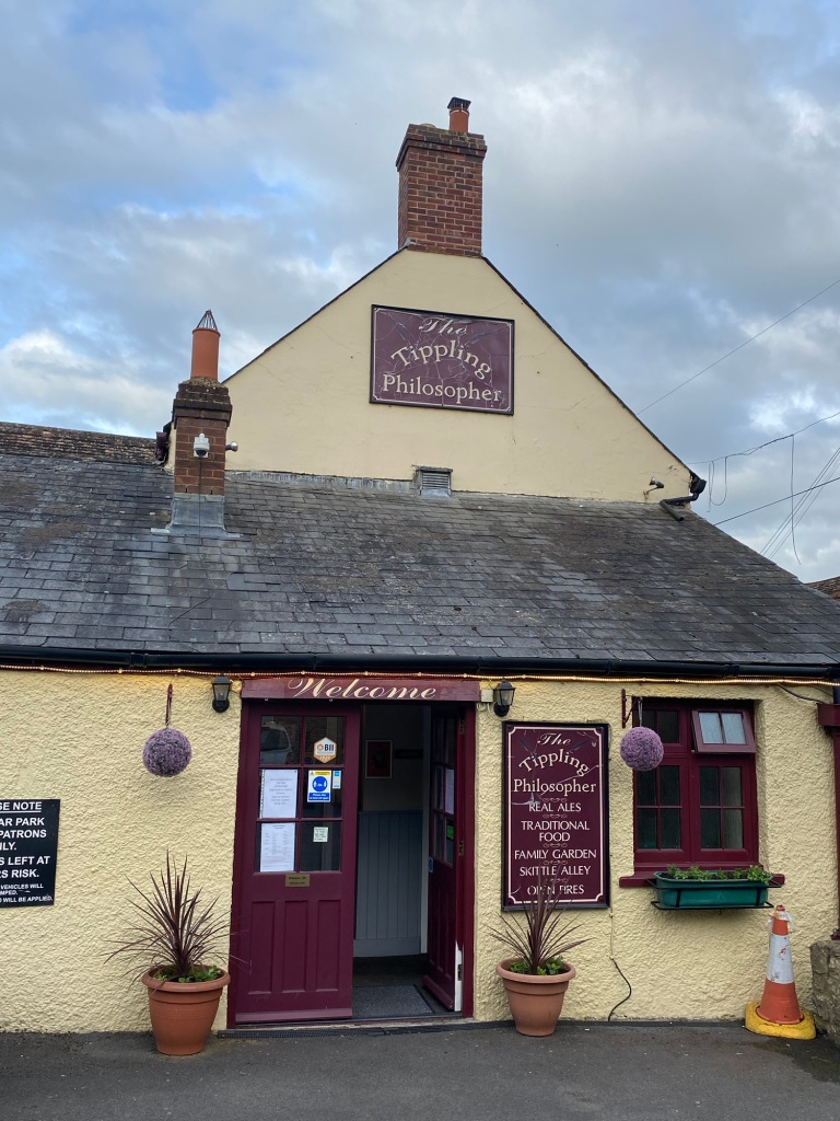
and a Tippling Philosopher
It doesn’t take much investigative power to realise that 60% relate to royalty, but why so many Rose and Crowns?
Plenty of surveys of popular pub names are carried out annually and they always disagree, but in the top ten four names feature consistently: the Red Lion, Crown, Royal Oak, and the White Hart. These names are all given to over 300 pubs in the UK.
The Red Lion was heraldic, and represented the king, initially James 1, we don’t have them in Wessex as Alfreds Gryphon was golden, hence the pub in Nether Compton.
The Crown, Kings Arms, Queens Arms all relate to an allegiance to the monarch and when the first signs were painted they were expensive and so therefore a portrait of the monarch was often deemed most cost effective. It was also an indication that you took the currency of the day. The image on a coin could be matched to the facsimile of the monarch.
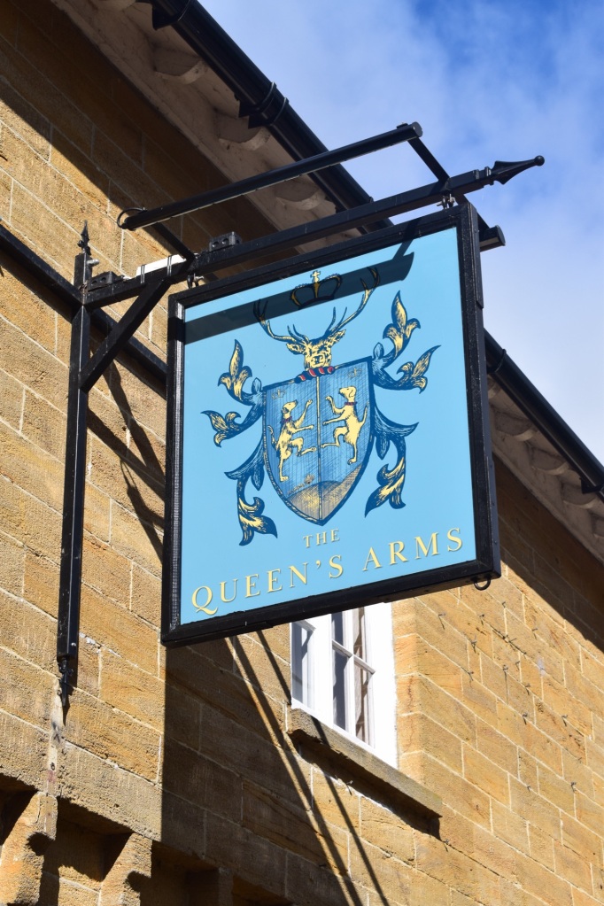
Sherborne has its own Crown in town but the Arms [rather than the head] related to the coat of arms of the monarch, or landowner of the era. More heraldry but also far easier to paint than a portrait.
The white heart related to hunting, Richard III was deemed to possess the attribute of a Hart and so the name emerged in his era. The forests of the crown were protected for deer hunting but hunting parties met at pubs prior to the hunts. As it was an easily recognisable icon before signs were painted an outline of a whitewashed deer could be hung, or even a carcass. There is one on the Green in Sherborne too.
Prior to painted pub signs the establishment would hang an object outside; Romans hung vines or grapes, some the shape of a bishop’s mitre and even a wicker statue was used to indicate the ‘Green Man’ [at Kings Stag].
Two names were indicative of historical events but in Wessex these ideas have become a little mixed.
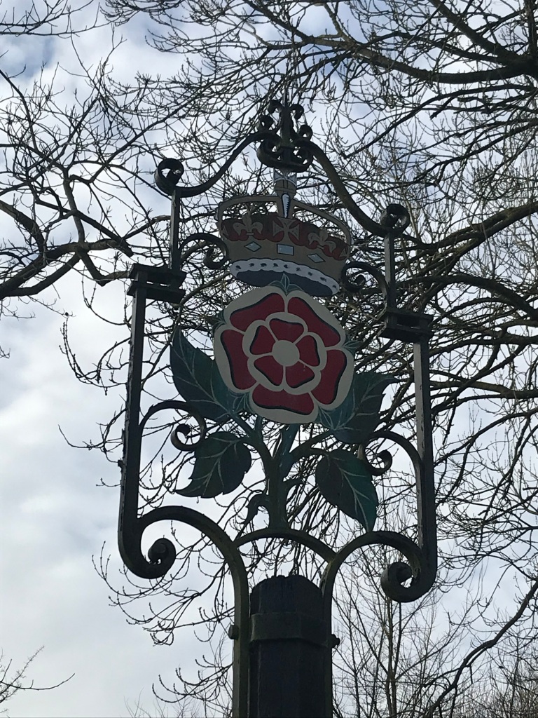
The myth of the Rose and Crown emerged during the era of Edward III. His golden rose emblem was pinched by his two warring sons and associated with opposing factions. John o Gaunt’s Lancashire red rose and Edmund o Langley’s Yorkshire red rose. The concept of a rose and crown slipped into our language and onto the pub signs. The ensuing battles established the name into the history books. The Tudor rose of Henry VIII contained both white and red roses intermingled.
But why a cluster of three pubs bearing the same name outside of Sherborne?
Well the answer is probably the Royal Oak.
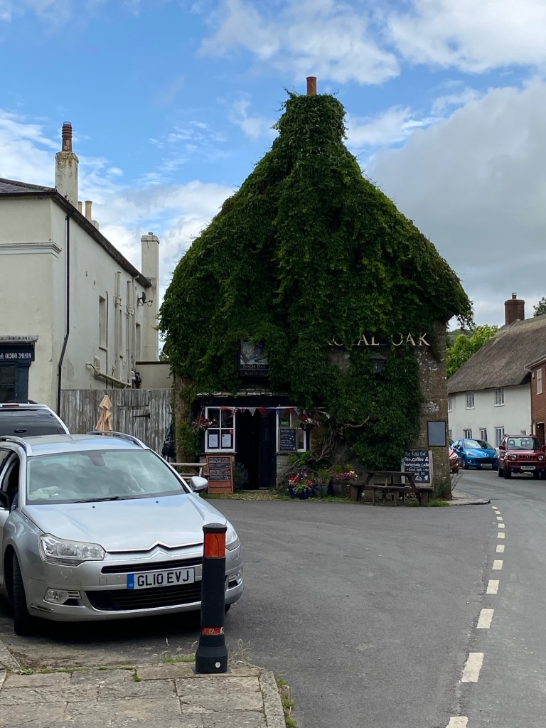
The legend of the Royal Oak emerged during the time of Prince Charles, later to become Charles II. Following his defeat at the battle of Worcester he sought refuge in an Oak Tree, evading his roundhead captors. Eventually ending up in France he wandered the countryside avoiding pursuit. Sympathisers renamed pubs or hung oak branches outside to show allegiance to the king.
The route he took is celebrated with the Monarchs Way but one thing is certain, he was in this area twice and probably for some time. The roundheads were catching on with the symbology of the oak bough and so roses were hung as an indicator of allegiance. Three pubs now bear the name, all within 6 miles of each other. He also stayed at the Camelot, in South Cadbury, but that is a different myth … or legend.